Historical Maps and Information
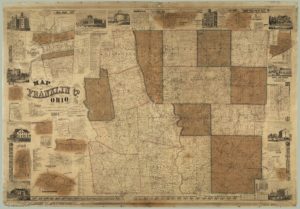
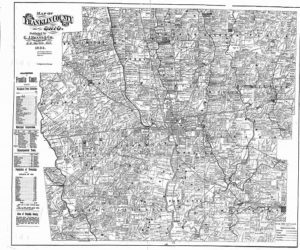
Historical maps of Franklin County dating back to 1842, as well as township maps, road record books, subdivision plats, private surveys, county road construction plans, and county road right-of-way plans are housed in the Records Management Office of the Surveying Department. Copies of these records and others are available to the public free of charge or for a nominal fee. Most can be obtained in both hardcopy and digital format. For more information, please contact Teel Slike, Records Manager at (614) 525-3045.
Historical Map examples:


